


 24/7 Emergency Service
Storm Alerts and What They Mean
10/3/2018 (Permalink)
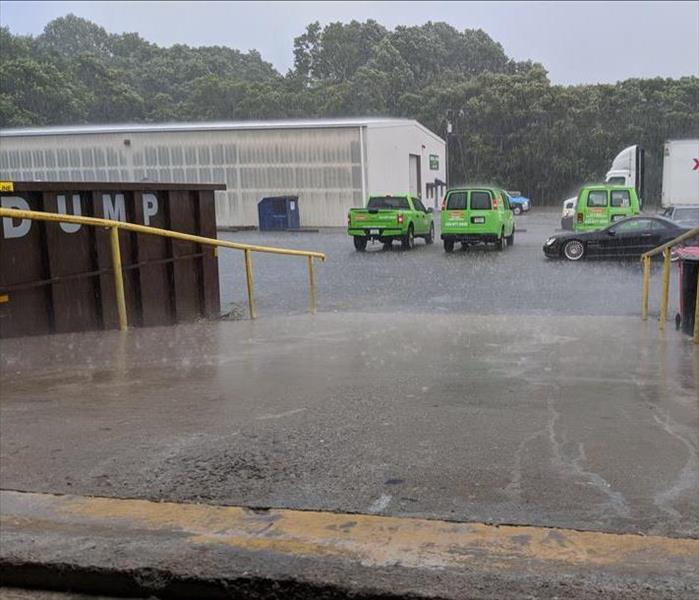 Recent Severe Thunderstorm in Charlottesville
When the wind is howling or the rain is coming down in buckets, the National Weather Service will issue weather advisories to help the public properly prepare for weather that is on the way. However, if we are unaware of what these advisories mean, we cannot take proper precautions towards preserving the safety of our families and our homes.
In the event of a severe storm, there are multiple alerts the Nation Weather Service may issue, corresponding to differing conditions in the area or within the system. The first alert is a Dense Fog Advisory. This alert communicates that for two or more hours fog will cover a large area with visibility reduced to ¼ mile or less.
Alerts concerning the wind conditions may take a few forms. High winds are defined by the National Weather Service as winds that are sustained at 40 mph or higher for longer than an hour or bursts of wind that reach 58 mph. In a situation where these winds are possible a High Wind Watch will be issued, but when these conditions are expected or imminent then a High Wind Warning will be issued. And if the wind is less powerful, only reaching sustained speeds of 31 mph or gusts or 46 mph then a Wind Advisory will be issued.
When high winds are combined with thunderstorms or hail at least an inch in diameter, a severe thunderstorm is present. If these conditions are possible but not yet present, a Severe Thunderstorm Watch is issued. But once these conditions are present or imminent the alert will move to a Severe Thunderstorm Warning.
In the summer, we might also observe temperature alerts. In Charlottesville a Heat Advisory is issued when the heat index could possibly reach 105 degrees. An Excessive Heat Watch could be issued if the heat index could possibly reach 110 degrees within 24 – 48 hours. And in Charlottesville, an Excessive Heat Warning would be issued if the heat index has or is expected to reach 110 degrees in the next 12 – 24 hours.
As you can infer from these explanations, usually a watch will indicate that a weather condition is possible, while a warning indicates that said weather condition is occurring or is imminent. Knowing this differentiation makes other weather alerts clearer as well. These additional alerts include: Flash Flood Warning, Flash Flood Watch, Tornado Warning, and Tornado Watch.
These advance warnings provide time to prepare for weather events. If you’d like a more comprehensive list of weather warnings you can visit the National Weather Service’s Website. And if you’d like to learn more about preparing your home and your family for inbound storms, you can visit our September blog on Emergency Preparedness.